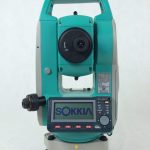
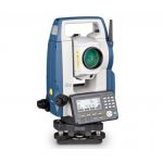
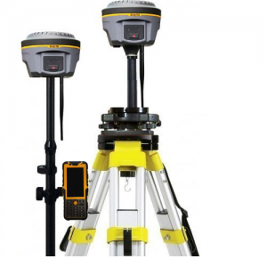
Grihayan Limited is a reputed company that provides digital land survey services in Bangladesh since 1990.
We can produce a 3D digital representation of any object or surface, providing a photorealistic model. These can be used for a variety of mediums including commercial advertising and marketing materials, architecture, illustration and engineering.
A 3D model offers a more than just a photograph or video, giving the viewer the opportunity to move around and explore every angle for themselves. Useful for online tours and also compatible with virtual and augmented reality technology. Coupled with Matterport or 360 images, it's possible to create full external and internal 3D interactive tours - An impressive and new way to market your business!They can also provide detailed measurements quickly and cost effectively; a useful surveying tool.
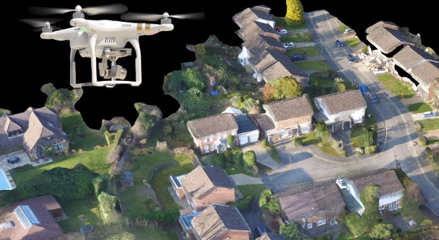
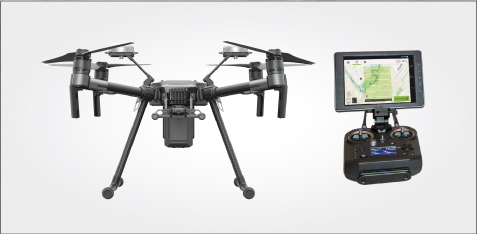
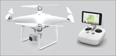
The use of drones in construction has many timesaving, health and safety and cost benefits.
We can track construction progress with photography, aerial video and timelapses. Map the topography of land, provide annotated site maps, 360 aerial panoramas, provide GPS referenced imaging with measurement data and provide stockpile analysis/volumetrics.